The National Weather Service has lifted the winter storm warning. The storm added to existing snow, and stands at 10 or 11 inches. But it’s not over yet.
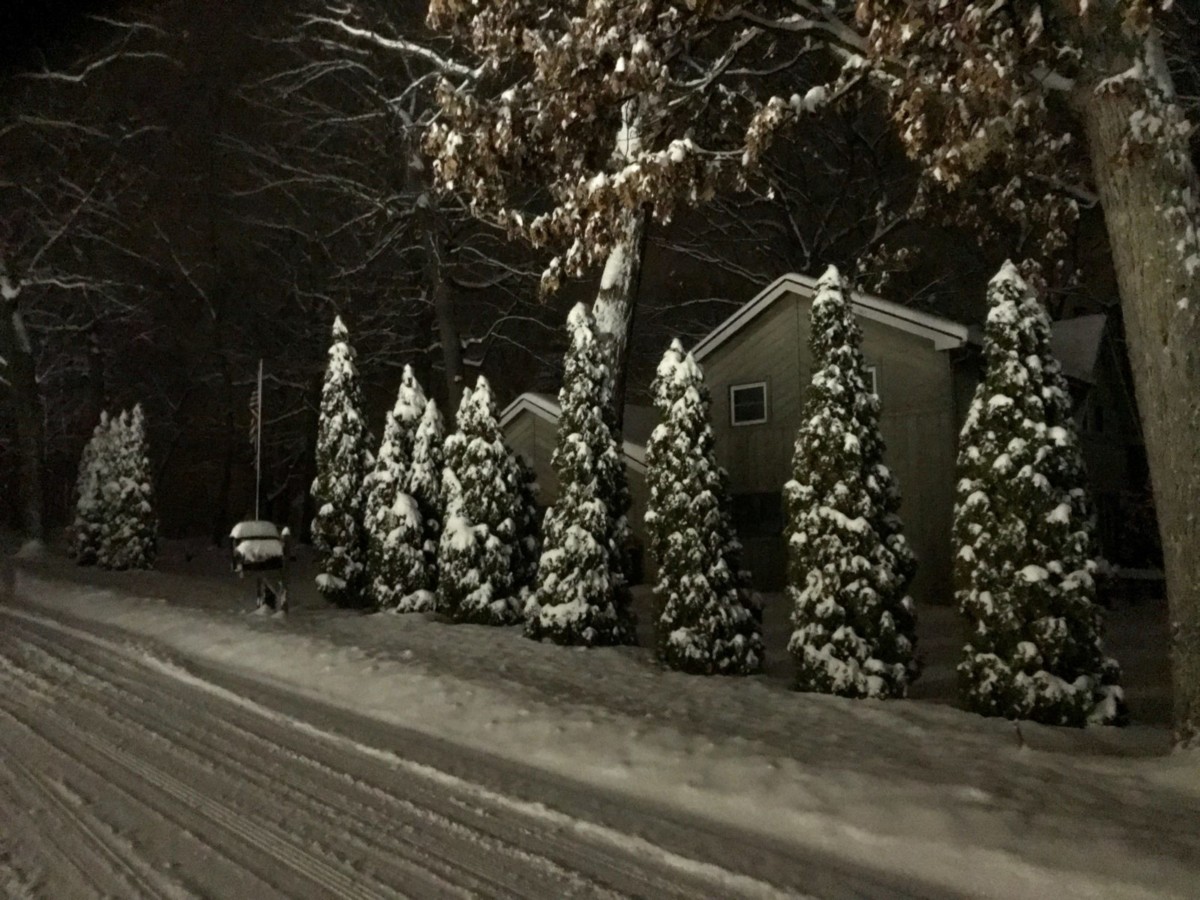
The snow left its own kind of beauty, as Bill Leutz found on a walk on Eagle Point Road Friday evening.
Here’s the forecast, as of 10 am, Saturday (revised forecast can be found on the main page of this website).
Today: Snow likely, mainly before 4pm. Cloudy, with a high near 24. North northeast wind 6 to 8 mph. Chance of precipitation is 70%. Total daytime snow accumulation of less than one inch possible.
Tonight: A slight chance of snow before 7pm, then snow likely after 1am. Cloudy, with a low around 16. Northeast wind around 5 mph. Chance of precipitation is 70%. New snow accumulation of around an inch possible.
Sunday: Snow, mainly before 4pm. High near 26. North northeast wind 6 to 8 mph becoming west northwest in the afternoon. Chance of precipitation is 90%. New snow accumulation of around 2 inches.
Sunday Night: A 30 percent chance of snow before 7pm. Partly cloudy, with a low around 10. Wind chill values as low as zero. West wind around 8 mph.
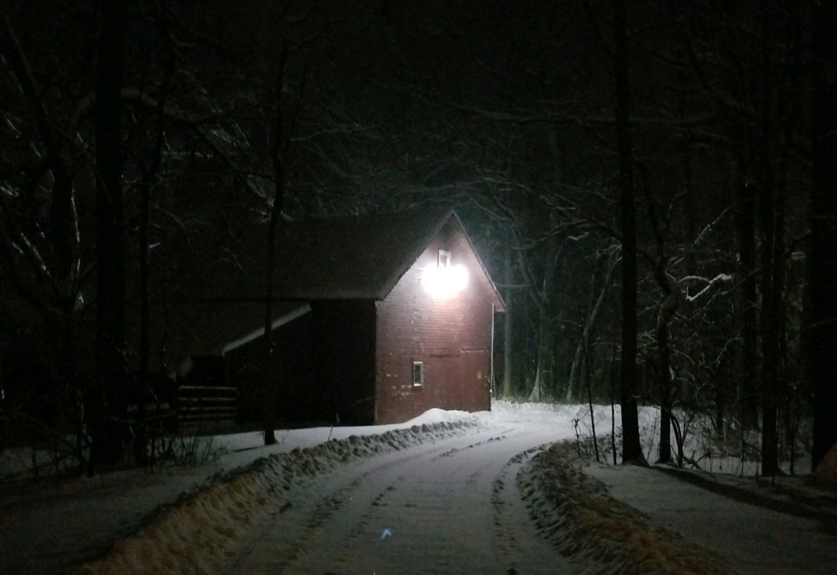
Jill Bentley spotted some Clark Lake beauty Friday evening. This is a photo of her barn.
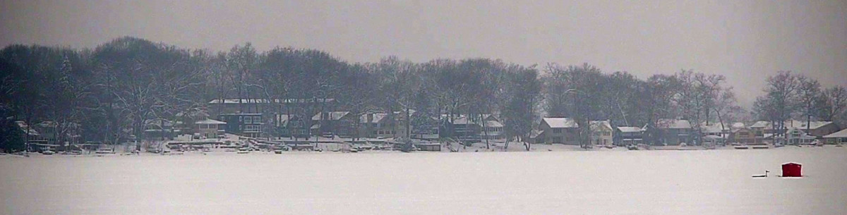
Visibility improved on Saturday. You can now see across the lake through these snow covered dock pieces on a deck.

RIck Belcher photo.
The DamCam is on-guard 24/7. The view will changed depending on conditions. This snapshot of the Eagle Point cove is from 10 am today (Saturday).