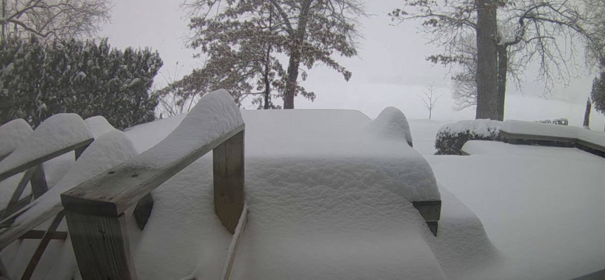
Friday started with the forecast snowfall, says Bill Leutz. By 9 am, he had an inch and a half on his walk. While the snow came down heavily, it was the lighter variety. So he was able to sweep the snow off walks, and did so 3 times. By 4:30 pm, there was 9 inches of snow, reports Bill. Two to 3 inches of it were leftovers, and the new snow added to it by about 6 and a half inches.
At 5:23 pm, the National Weather Service continued its winter storm warning:
WHAT…Heavy snow. Total snow accumulations of 6 to 10 inches are expected.
WHERE…Van Buren, Kalamazoo, Calhoun and Jackson counties, including the Interstate 94 corridor.
WHEN…Until 7 PM EST this evening.

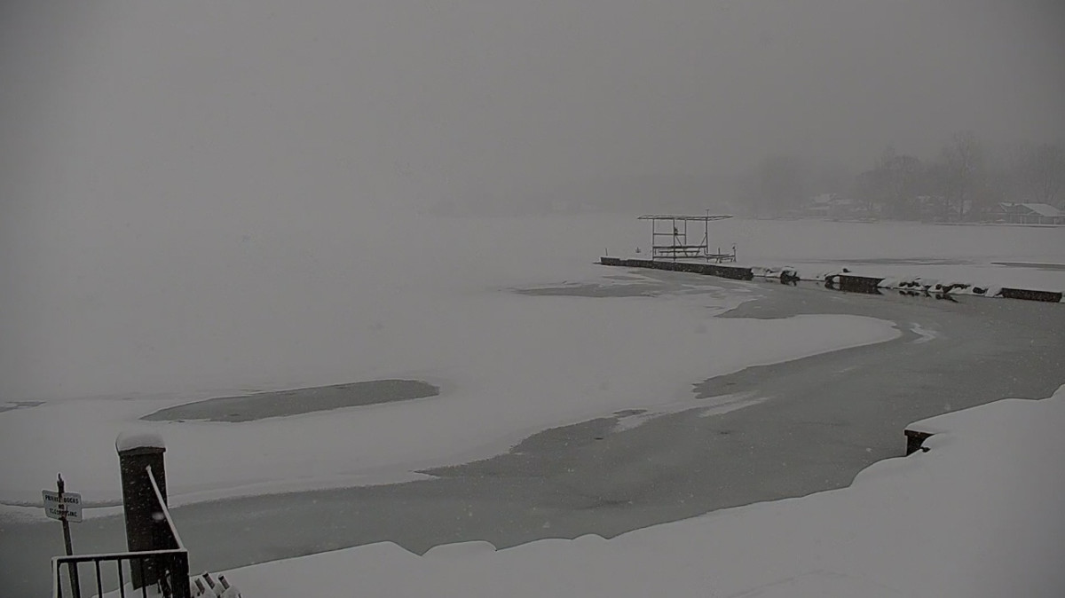
Rick Belcher photo. Dock pieces illustrate the snow depth. Visibility is limited. The north shore is barely visible.
Just like Bitcoin’s decline, the snow is not yet done with Clark Lake. Below is the current National Weather Service forecast, as found on the main page of this website (as of 5:30 pm).
Tonight: Snow showers likely, mainly before 2am. Cloudy, with a low around 14. North northeast wind around 6 mph. Chance of precipitation is 60%. New snow accumulation of less than one inch possible.
Saturday: Snow showers likely, mainly between 7am and 1pm. Cloudy, with a high near 25. North northeast wind around 7 mph. Chance of precipitation is 70%. New snow accumulation of less than one inch possible.
Saturday Night: Snow showers likely, mainly after 1am. Cloudy, with a low around 18. North northeast wind around 6 mph. Chance of precipitation is 60%. New snow accumulation of less than one inch possible.
Sunday: Snow, mainly before 1pm. High near 27. North wind around 7 mph becoming west northwest in the afternoon. Chance of precipitation is 80%. New snow accumulation of around 2 inches.
Sunday Night: Partly cloudy, with a low around 9.
Driving conditions suffered. Ann Swain snapped this photo on Jefferson Road in Brooklyn.

Meanwhile, the DamCam stands guard at the east end of Clark Lake. Views will vary depending on conditions.


