Once again winter wants to take us on. The National Weather Service has posted an advisory in effect from midnight tonight to 1 pm Wednesday:
Mixed precipitation expected. Total ice accumulations of one to two tenths of an inch and snow accumulations of 2 to 4 inches expected. Wind gusts in excess of 40 mph are possible Tuesday night into Wednesday with areas of blowing snow.
The NWS adds “plan on slippery road conditions and low visibility during the Tuesday morning, evening, and Wednesday morning commutes. The heaviest ice accumulations are expected along the Interstate 94 corridor. Be prepared for power outages as the combination of gusty winds and ice accumulations may down tree limbs and power lines. Blowing snow with occasional white out conditions are possible Tuesday night into Wednesday morning, especially on north to south oriented roadways.”
For weather updates, go the main page of this website and scroll down. The “5-day forecast” is always a good place to start.
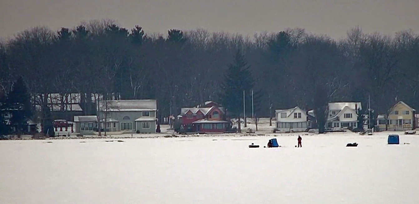
Below is a view of the Kentucky Point cove this morning (Monday) from the DamCam.