Wednesday began with light snow and gusty, howling winds. That was the wake up this morning after heavy rain, thunder and lightning yesterday afternoon.
[youtube]https://youtu.be/v_c9s89l3kE[/youtube]
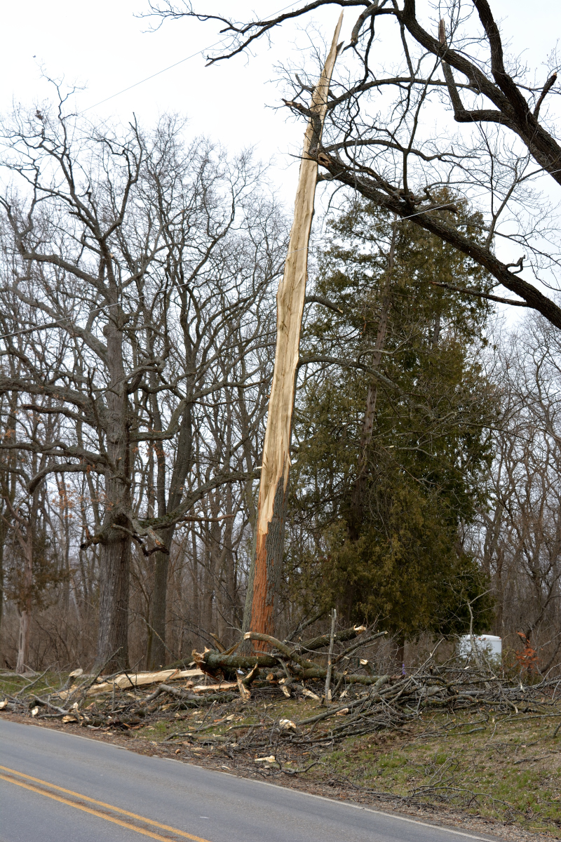
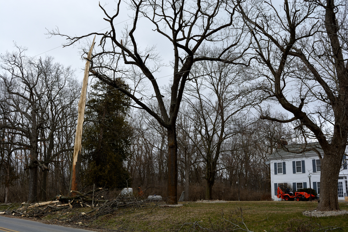
The stress of yesterday’s storm was too much for this tree on the north side of Jefferson Road.
After today’s snow and gusts, what’s ahead? Here’s the forecast from this website’s main page as of 10 am.
Tonight: Mostly cloudy, with a low around 22. West wind 6 to 13 mph, with gusts as high as 24 mph.
Thursday: A 30 percent chance of showers after 2pm. Mostly sunny, with a high near 40. West wind 6 to 9 mph.
Thursday Night: Rain and snow showers likely before 10pm, then snow showers likely between 10pm and 4am, then a chance of snow showers and freezing rain after 4am. Cloudy, with a low around 29. South wind 5 to 9 mph. Chance of precipitation is 60%. New snow accumulation of around 2 inches.
Friday
A chance of rain showers, snow showers, and freezing rain before noon, then a slight chance of rain and snow showers between noon and 1pm, then a slight chance of rain showers after 1pm. Mostly cloudy, with a high near 38. West wind 11 to 18 mph, with gusts as high as 30 mph. Chance of precipitation is 30%.
Friday Night: A slight chance of snow showers between 7pm and 8pm. Mostly cloudy, with a low around 20. Chance of precipitation is 10%.
Saturday: Mostly sunny, with a high near 36.
Saturday Night: Partly cloudy, with a low around 19.
Sunday: Mostly sunny, with a high near 39.
Sunday Night: A slight chance of rain and snow showers before 9pm, then a chance of snow showers. Mostly cloudy, with a low around 25.
Monday: A chance of rain and snow showers. Cloudy, with a high near 41.
Monday Night: A slight chance of rain and snow showers. Mostly cloudy, with a low around 27.
Tuesday: A chance of rain and snow showers. Mostly cloudy, with a high near 42.
You can always get a forecast for this area from this website (lower left, main page).