Coinciding with an arctic blast, Consumers Energy is asking customers to reduce gas usage. It’s the result of a fire at their Ray Natural Gas Compressor Station in Macomb County this morning.
According to CE, “all gas flow from the compressor station has been shut in until safety and damage assessments can be completed. Consumers Energy is activating natural gas peaking storage fields in Northville and St. Clair to help deliver natural gas to our customers. Natural gas is stored underground and reserved in these fields, which are activated when energy demand requires it. In addition, the company has reached out to its largest business customers to reduce gas usage while we continue to investigate the incident.”
CE is asking residents and businesses to reduce gas usage by doing the following:
“LOOK AT THERMOSTAT SETTINGS: Save energy while staying warm by setting your heat to a lower temperature. Use your programmable thermostat to set your heat at 65 degrees when you are home and 62 degrees when you are away for less than 5 hours.
“BUSINESS REDUCTION OF PROCESSES: The company is also encouraging industrial and business customers to temporarily reduce processes.
“SEAL & SHUT WINDOWS AND DOORS: Check for leaks in your windows and doors by feeling around for cool air. Also, please ensure all windows and doors are closed tightly.
Consumers Energy CEO Patti Poppe delivered this appeal late Wednesday evening:
[youtube]https://youtu.be/JRL8lmDpOws[/youtube]
Update from CE Thursday morning:
“Conservation, even by gas customers served by other utilities than Consumers Energy, is making a difference. This morning, we are cautiously optimistic that our public requests to reduce gas use are having a positive effect. Repairs at our Ray Compressor Station are ongoing and the station is partially in service, providing natural gas to our distribution system. However, with Thursday’s continued historically cold weather, we ask that conservation measures continue through the end of the day Friday, Feb. 1.
Meanwhile, a change is coming most will welcome. By Saturday, the high will be 39, Sunday 46, and Monday 51. After that temperatures settle back into a more typical January range.
As of Wednesday at 7:30 pm, here’s what the National Weather Service is saying (updated forecast always available from the main page of this website).
Tonight
A chance of snow showers before 3am, then a slight chance of snow showers after 4am. Mostly cloudy, with a low around -16. Wind chill values as low as -36. West southwest wind 11 to 16 mph, with gusts as high as 28 mph. Chance of precipitation is 30%.
Thursday
A 10 percent chance of snow showers before 7am. Increasing clouds and cold, with a high near -1. Wind chill values as low as -37. Southwest wind 10 to 13 mph, with gusts as high as 23 mph.
Thursday Night
Snow showers likely, mainly after 1am. Mostly cloudy, with a temperature rising to around 0 by 4am. Wind chill values as low as -19. Southwest wind 5 to 7 mph becoming light and variable after midnight. Chance of precipitation is 60%. New snow accumulation of less than a half inch possible.
Friday
Mostly cloudy, with a high near 17. Wind chill values as low as -10. Southeast wind around 6 mph.
Friday Night
Mostly cloudy, with a low around 12. South southeast wind 6 to 8 mph.
Saturday
Partly sunny, with a high near 39.
Saturday Night
A chance of rain and snow showers after 1am. Mostly cloudy, with a low around 34. Chance of precipitation is 30%.
Sunday
A chance of showers before 1pm. Mostly cloudy, with a high near 46.
Sunday Night
Mostly cloudy, with a low around 40.
Monday
Showers likely, mainly after 1pm. Cloudy, with a high near 51.
Monday Night
A chance of showers. Mostly cloudy, with a low around 31.
Tuesday
A chance of rain and snow showers. Mostly cloudy, with a high near 37.
Tuesday Night
Rain and snow showers likely. Mostly cloudy, with a low around 26.
Wednesday
A chance of rain and snow showers. Mostly cloudy, with a high near 38.
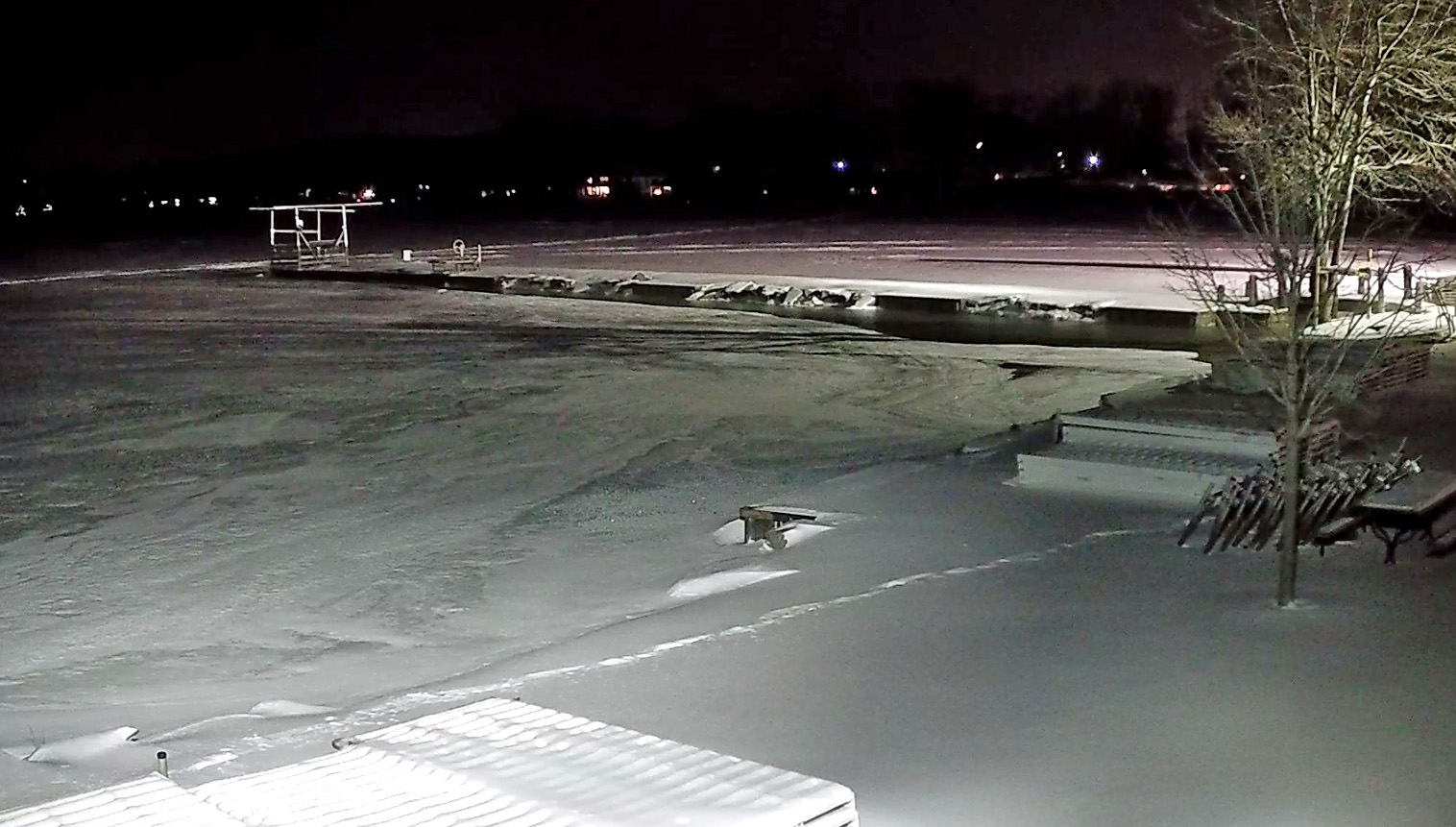
Below, the DamCam looks out over a frigid Clark Lake.