Maps, particularly old ones, can reveal waymarks of the past. In doing so, they say something about our life today. What does this one say?
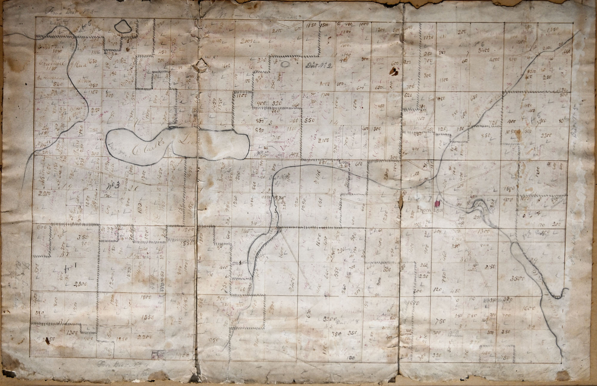
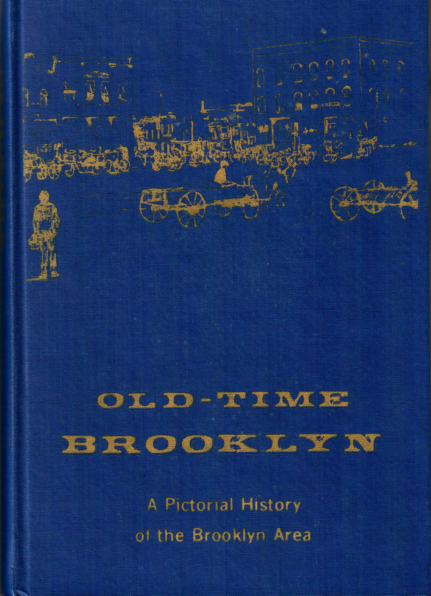 The person who wrote the inscription on the back of the map notes the date it was framed—May 26, 1963. The inscription reads “This is an awfully old map evidently showing the school districts of Columbia Township. Probably a hundred years old, or very near it.” The note was signed “Paul H. Totten, Brooklyn, Michigan.” Paul Totten authored a book titled “Old-Time Brooklyn, a Pictorial History of the Brooklyn Area.” In it, Clark Lake is not overlooked. Nor is Clark Lake overlooked on the map. The shape is recognizable, but not as distinct as we’re use to seeing it. The map was drawn without the advantages of today’s satellite imagery. It inspires the question, how did they draw maps of this type in those days? Here’s a guess: This map may have been deduced from surveys and property plat maps.

If Paul Totten framed the map in 1963, and estimated its age to be 100 years old at the time, this item is indeed a relic.
Thanks to Flip and Linda Reynolds, the Clark Lake Community Center has a new, very old, map to add to the collection of historical artifacts.
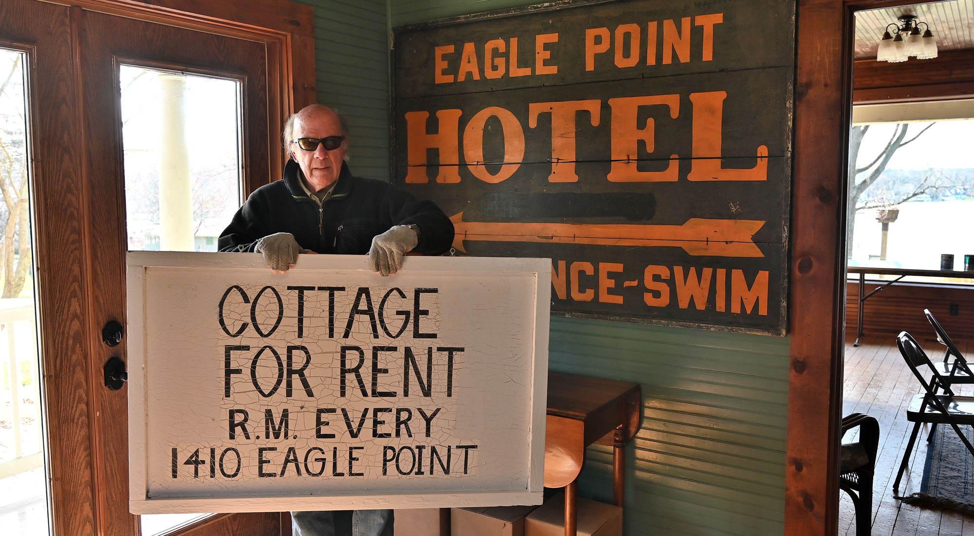
The Clark Lake Community Center is about preserving Clark Lake’s past. A number of historical maps, property plats, photos, paintings and other memorabilia have been donated. As the Community Center restoration project moves forward, these items will be displayed on walls or shelves. In the photo below, Steve Harris holds a sign he donated to the Community Center earlier this year.